Before and After the Storm: Geology Research Offers Rare View of Erosion in the Caribbean
February 25, 2019
Amanda Nagy
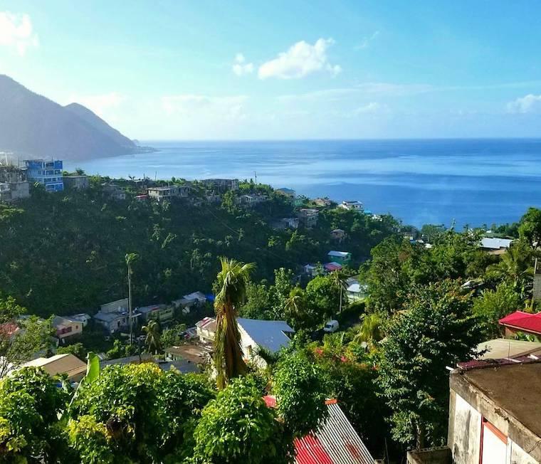
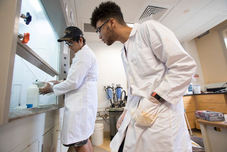
A view from Roseau, the capital of the island nation Dominica.
Photo credit: Courtesy of Amanda Schmidt
When a colleague asked Amanda Schmidt if she would consider being a part of field work in the Caribbean island Dominica, her short answer was, “Not interested.”
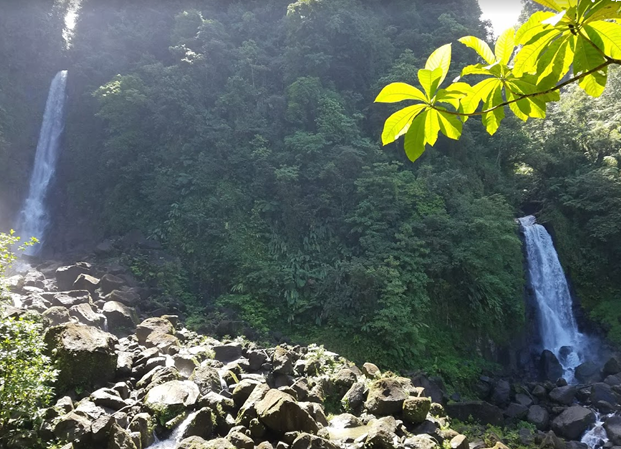
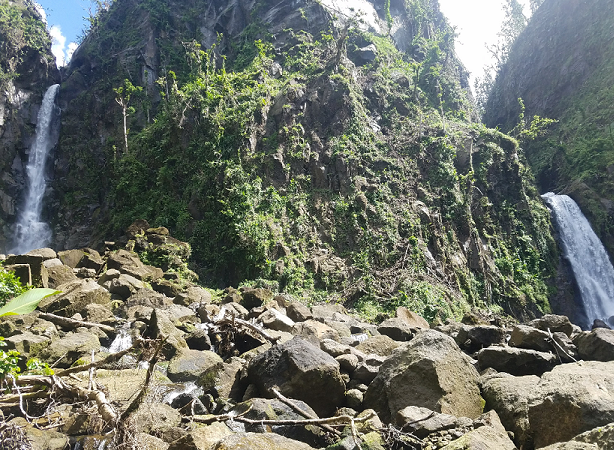
It seems counterintuitive, but in general, not many geologists flock to tropical islands for research. Because Schmidt is a geomorphologist interested in human land-use interactions, that means that she tends to gravitate toward places with more agriculture. Most of her research has been focused in western China.
Schmidt also studies erosion and landslides, which is why her colleague Holli Frey, a volcanologist at Union College, persuaded her to join a large group project organized through the Keck Geology Consortium. In June 2017, Schmidt, along with senior Marcus Hill, spent two weeks doing landslide mapping and collecting sediment samples. Three months later, Hurricane Maria made landfall as a Category 5 storm.
“We know that hurricanes and strong storms have a really big influence on erosion around the world, but you very rarely have the before data, and we had the before data,” Schmidt says.
There was an unprecedented opportunity “to quantify the effects of these storms for the people of Dominica, or at least say something about the types of landslides that were triggered, and what that meant for erosion.”
Schmidt collaborated with Paul Bierman, a geomorphologist at the University of Vermont, to measure erosion rates from the pre-hurricane trip with a Franklin Research Grant from the American Philosophical Society. They’re measuring erosion rates over long periods of time by analyzing in situ 10Be.
“I got him involved because we have so few measurements of erosion on tropical islands,” Schmidt says. “These will likely be the first erosion rates calculated in the Caribbean. It should be more representative of the volcanic islands in the Lesser Antilles.”
Even though it is the most volcanically active island in the Lesser Antilles, Dominica is one of the least developed and least visited; instead it’s marketed toward ecotourism. “The Division of Forestry is very excited and interested in the work we’re doing,” Schmidt says. “They were really helpful with getting our permits.”
For a week in January 2018, Schmidt returned to the island to conduct field work with Hill, a STRONG scholar who has worked in her lab since his first year at Oberlin; Ely Bordt, a junior; and a Melinda Quock, a senior honors student from the University of Vermont.
The trip was funded by a National Science Foundation Rapid Response Research Grant through the Geomorphology and Land Use Dynamics Program. Hill mapped landslides on Google Earth, comparing the “before data” from Tropical Storm Erika in 2015, and the more recent landslides from Hurricane Maria. The group also took photography before and after Maria.
Schmidt explains that the two storms were very different. Maria was quick and intense, with heavier rain and higher winds, while Erika, a tropical storm, brought lower winds and overall lower rainfall over several days.
“To have the first set of erosion rates, then to have this single large storm and ask what that does to erosion rates and the movement of sediment from the upstream watershed” was critical, Schmidt says.
Her lab is analyzing soil samples and measuring several isotopes—137Cs, 210Pb, and 7Be—as tracers of erosion depth over shorter time scales.
For Hill, a geology major and religion minor, the Dominica project turned into his senior honors thesis. He was involved in almost every step, including sample collection, processing, and data analysis. Since he’s studying abroad this spring with the Oberlin-in-London Program , he had to begin work on his thesis last spring so he could finish it in December.
A Michigan native, Hill has learned from traveling abroad that some of the challenges begin with logistics.
“When traveling for research, you have to be able to roll with the punches,” he says, recalling his experience traveling to China.
“Just getting to China from Detroit was such an endeavor with missed flights and new connections, and the research hadn't even begun yet! While we were there, we encountered so many hurdles, from car issues to unnavigable paths, finding a place to stay for the evening, traffic, and the list goes on. It would have been so easy to become overwhelmed and dejected, but we didn't. We had such an awesome group of people to keep morale high, and it really made the trip something amazing. These same ideas held true in Dominica, too.”
Schmidt says the landscape mapping, repeat photography, and erosion data will be beneficial for Dominica’s government, because it will help with infrastructure planning.
“We’ll be able to show the changes they can expect after a big storm, and where the big landsliding will occur,” she says.
“How we balance scientific research with a disaster that people are still recovering from—that’s a fundamental and interesting question. After a disaster, areas that rely on tourist income often suffer more because tourists stay away, thinking they won’t be helpful. We found from conversations with people on the ground that everyone was really excited that we were doing this work.”
You may also like…
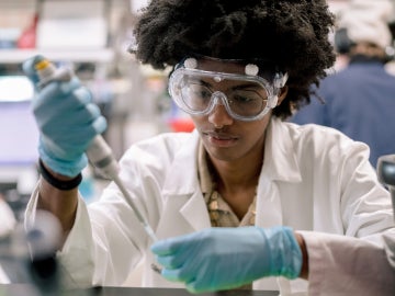
The ABCs of STEM Research
At Oberlin, undergraduates work alongside faculty members on incredible scientific breakthroughs.
From Capitol Hill to Mellon Mays: A Journey in Engaged Scholarship
Through CELA, Aina Tasso ’27 integrates Bonner service, Congressional internships, and Mellon Mays research to build a future in scholarship and public service.
Advancing AI Accessibility and Policy
Oberlin student Tanisha Shende ’26, a Goldwater Scholar and STRONG program participant, bridges the gap between generative AI innovation, disability accessibility, and international tech policy.