
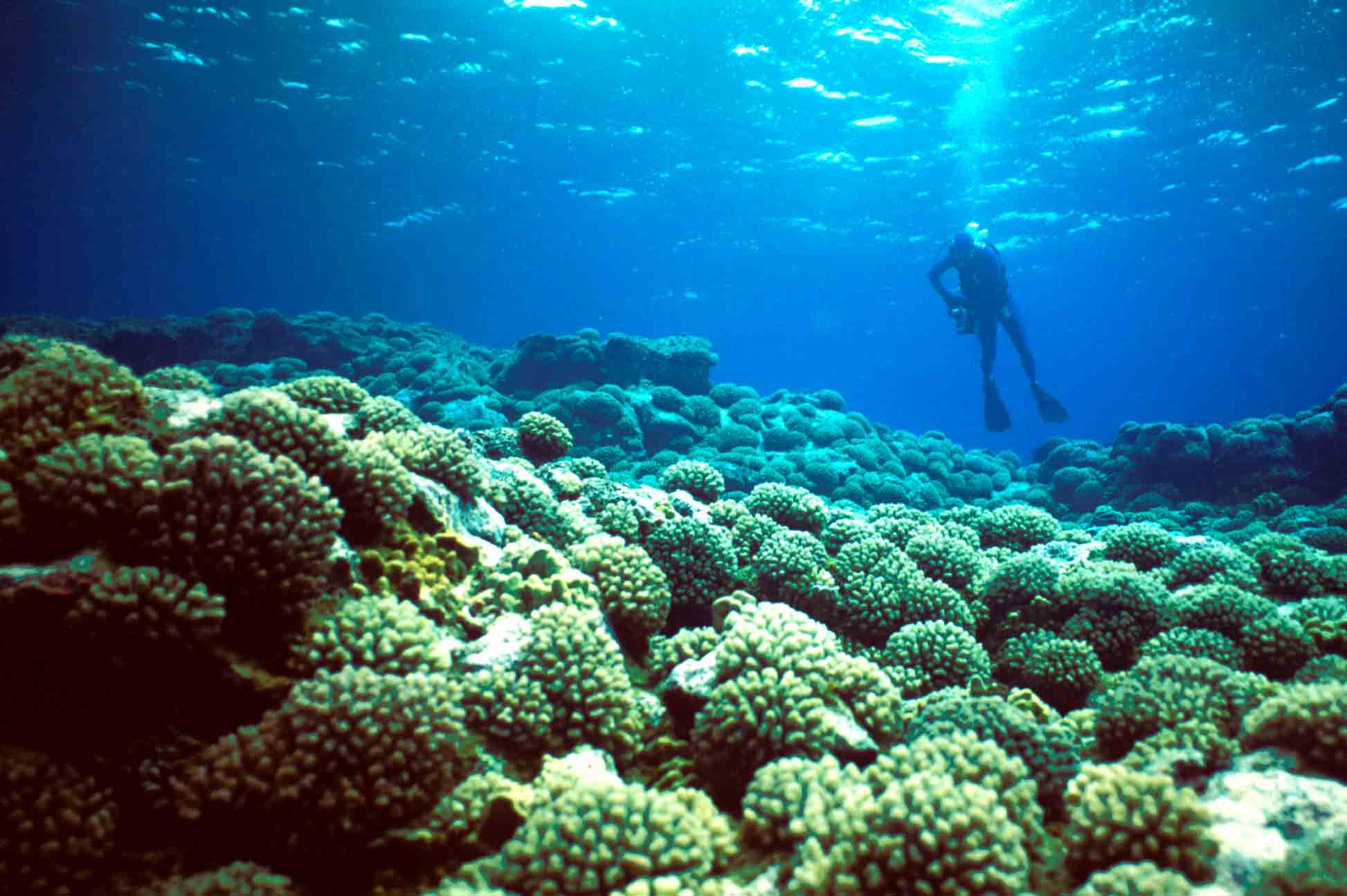
The U.S. National Park Service, the Long Island Science Museum, and the Explorers' Club sponsored three expeditions to Easter Island between 1987 and 1989. These were organized and led by Dr. John Loret who, as a graduate student, had accompanied Thor Heyerdahl on his original expedition to the small island in 1955. His co-leader was Dr. John Tanacredi, then an NPS scientist. The research was done at the request of the Chilean counterpart to NPS, recognizing that the possible designation as a World Heritage Site would necessitate a careful inventory of existing cultural and natural resources. Published accounts described depauperate reefs with poor cover and low diversity. The images below represent "typical" cover and chronicle the repeated surprises each time we entered the water. While diversity was low, coral cover generally exceeded 50% down to depths of 30 meters.
The map on the left shows the dive sites visited in 1988 and 1989 (black squares). The numbers next to some sites indicate more than a single dive. The red "gum drops" summarize coral cover, highest on the leeward shelves to the west and north. Cover by macroalgae and the abundance of grazing urchins are also shown.
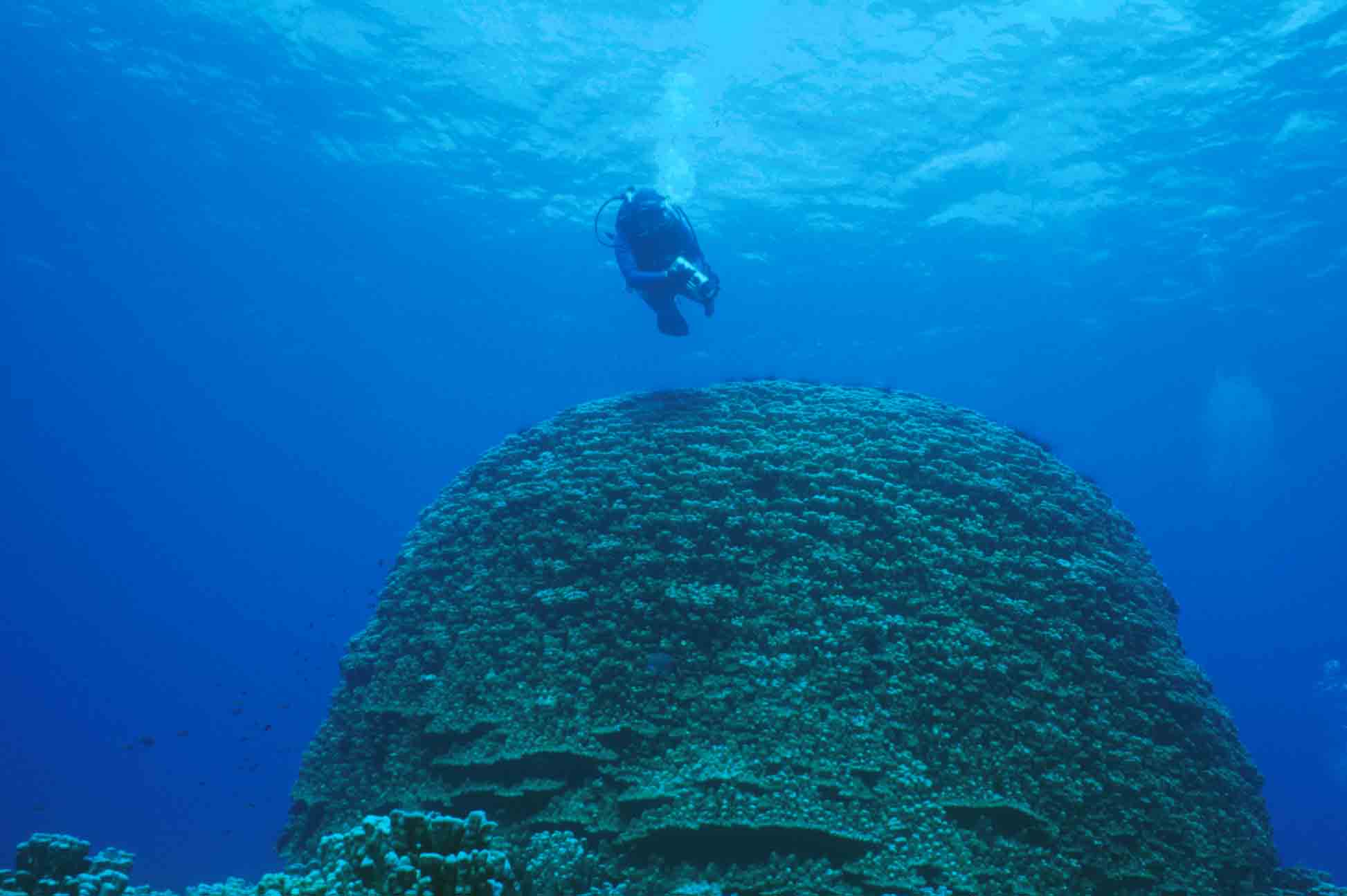
 Photo
by Henry Tonnemacher
Photo
by Henry Tonnemacher
For more details, see chapter 4 by Hubbard and Garcia in Easter Island: Scientific Exploration into the World's Environmental Problems in Microcosm, edited by Loret and Tanacredi, and published by Klewer Academic Press
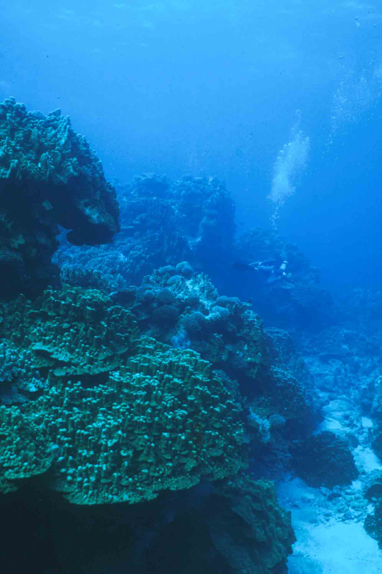
The scene to the left, in 20 meters of water, is typical of the northern and western coasts. In contrast, the windward side of the island is devoid of coral cover, contrary to prevailing models that would predict the highest coral cover on the side of the island facing into the prevailing wave approach. The prevailing southeasterly swell originates in Antarctica and wavelengths over a kilometer are common. Thus, wave energy is so high that the "best" reefs exist as refugia on the more protected sides of the island. The large ripples to the right occur on the "protected' side of Easter Island. The windward side is scoured bedrock.
In March and April of 2000, most areas around the island experienced severe coral bleaching due to higher-than-normal water temperatures (ca. 27°). It is important to note that this is within the "normal temperature range of corals at most other sites. Thus, the temperature at which a coral expels its zooxanthellae appears to be related to local averages rather than some absolute thermal threshold.
 Photo
of the author by Henry Tonnemacher
Photo
of the author by Henry Tonnemacher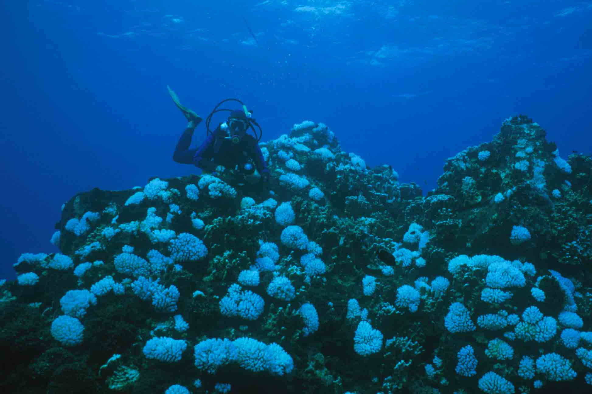 Photo
by Michele Garcia
Photo
by Michele GarciaWhat Did We Learn?
- Coral cover is much higher on Easter Island than has been generally accepted.
- Coral diversity is low (ca. 11 species)
- Highest coral cover occurs in refuge sites on the leeward shores owing to long (0.5 - 1.5 km) Antarctic swell from the SE.
- High coral cover does not necessarily equate to reef-community "stability"; shallow communities have shifted dramatically